Neglia Group’s Surveying and GIS Departments have always emphasized the importance of digital, georeferenced tax maps. The New NJHOMES Atlas created by the New Jersey Department of Community Affairs (DCA) provides another example of why.
Effective October 1, 2026, a new federal requirement mandates that communities receiving Community Development Block Grant (CDBG) funding directly from the U.S. Department of Housing and Urban Development (HUD) maintain a publicly accessible, searchable database of municipally owned undeveloped land on their official municipal website. The DCA recently introduced NJHOMES Atlas, a free mapping application designed to help municipalities publish and maintain a searchable online inventory of municipally owned vacant land.
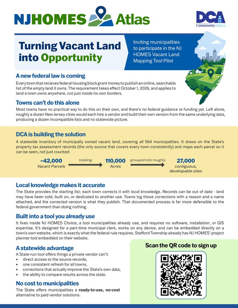
Using statewide tax assessment records and statewide GIS parcel data, NJ HOMES Atlas has identified approximately 42,000 potentially vacant parcels across New Jersey’s 564 municipalities.
Municipalities are invited to participate in DCA’s pilot program to review their records and ultimately publish searchable inventories accessible to the public. Is your municipality prepared to perform this review and comfortable providing this data?
Why Accurate Tax Maps and Parcels Matter
The creation of NJHOMES Atlas further demonstrates how tax maps and parcel data are increasingly being used beyond traditional property assessment purposes to support statewide planning and decision-making.
The application uses statewide available parcel data and also MOD-IV tax assessment records. The records may contain outdated information, including residential, commercial, and vacant property classifications. Discrepancies in these records, along with outdated zoning information, highlight the importance of maintaining accurate municipal data.
Digital tax maps and ongoing maintenance present an opportunity for municipalities to improve parcel data reliability, reduce discrepancies, and streamline review processes.
How Neglia Group Can Help
With NJHOMES Atlas bringing greater attention to parcel data and tax assessment records, now is an ideal time for municipalities to evaluate the accuracy and completeness of their tax maps and GIS datasets. Whether your community is preparing for DCA reporting requirements, reviewing municipally owned land inventories, or seeking to improve parcel data management, Neglia Group can help ensure your records are accurate, up to date, and ready to support informed planning and decision-making.
Neglia Group’s Surveying and GIS Departments provide various services to help municipalities maintain accurate and reliable parcel information, including:
- Digital Tax Mapping: Developing accurate, georeferenced tax maps to support municipal GIS applications and statewide parcel datasets.
- Tax Map Maintenance: Keeping municipal tax maps current through ongoing updates and revisions.
- GIS and Parcel Data Management: Identifying discrepancies and improving the accuracy of municipal mapping information.
- Zoning Map and Interactive Application: Researching and compiling the latest ordinance and zoning district updates to align your Municipal Code to your mapping and data.
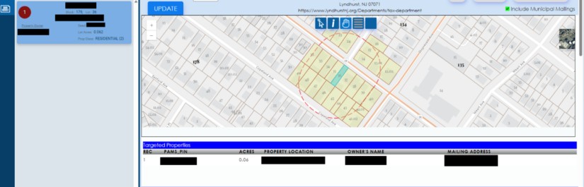
- Tax Assessor Toolbox Application: Providing interactive mapping, MOD-IV verification, 200-foot list generation, parcel discrepancy identification, real-time revision tracking, and historical tax map access.
As parcel data continues to support statewide planning and development, maintaining accurate municipal records presents an opportunity for better data, greater efficiency, and more informed decisions.
Contact Gary A. Veenstra, PLS, CFS, Principal and Director of Surveying/Geospatial, (gveenstra@negliagroup.com), or Richard Caprio, GISP, Director of GIS & Data Services, (rcaprio@negliagroup.com) to learn how Neglia Group can support your municipality.